Map Name | Description
Quick View
Download
The Zoning Map Atlas was prepared by the Planning/Land Use Office
(download may take awhile)
Date Revised: September 19, 2017
|
5 MB
|
The Zoning Wall Map provides a Townwide view of the Zoning classifications
Date Revised: Sept 2017
|
1 MB
|
The Zoning Wall Map provides Zoning classifications within the Borough boundaries
Date Revised: Mar 2020
|
1 MB
|
This map provides Flood Hazard Zones
with a property boundary overlay
Date Revised: Sept 2017
|
1 MB
|
This map provides
Coastal Area Management Areas
with Property Boundaries
Date Revised: Sept 2017
|
600 KB
|
This map provides Stonington Aquifer Protection Zones with a Groundwater Protection Overlay District
Date Revised: Sept 2017
|
600 KB
|
This map is a quick reference guide to
street names and locations for
the Town of Stonington
(download may take awhile)
Date Revised: March 2025
|
24 MB
|
This map provides the locations for Stonington Public Schools
Date Revised: May 2007
|
1 MB
|
This map provides the Fire Department services districts and grid
Date Revised: November 2020
|
500 KB
|
This map provides the Voting Districts and Polling locations
Date Revised: March 2022
|
2.6 MB
|
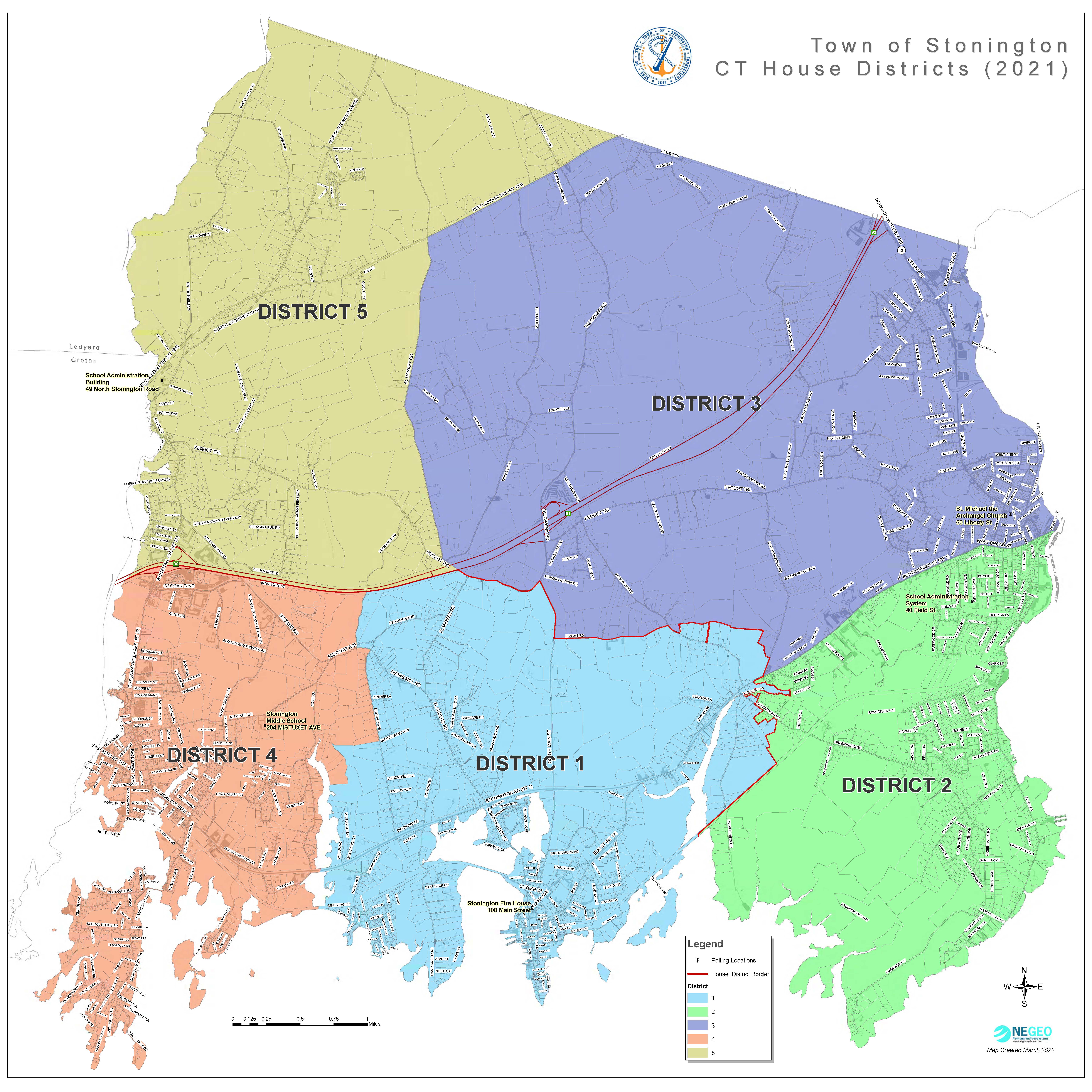
This map provides the House Districts and Polling locations
Date Revised: March 2022
|
3 MB
|


